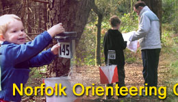
![]()
Click a place on the map to jump to further details.
Map references within descriptions link to Multimap.com.
The thumbnail maps previously on this site have been removed to comply with Ordnance Survey regulations. However, maps of complete areas are available wherever we have held an event and submitted the results to RouteGadget. These sites are linked by clicking MAP

|
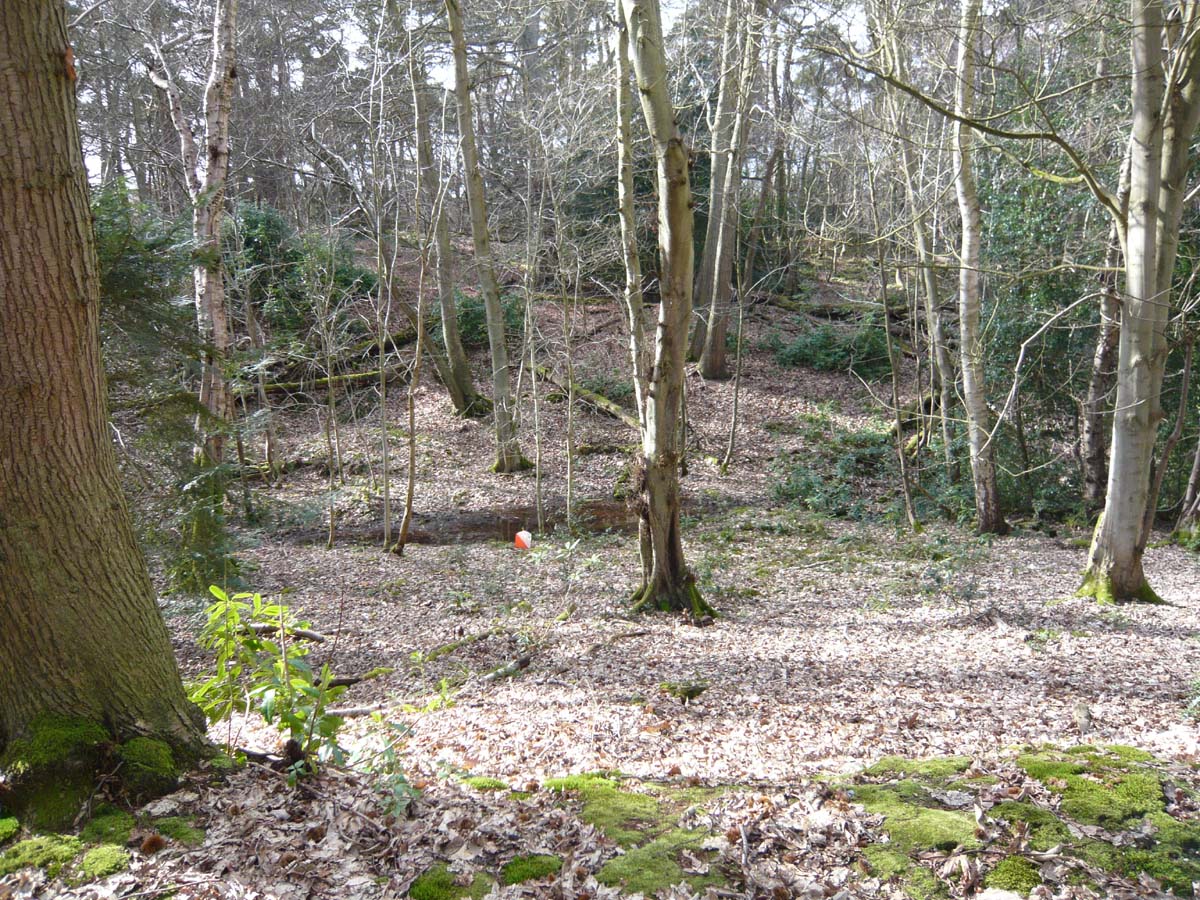
Bacton |
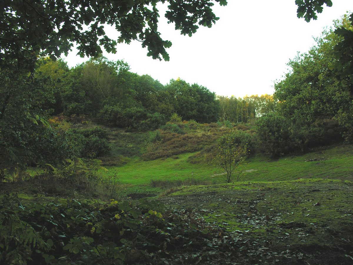
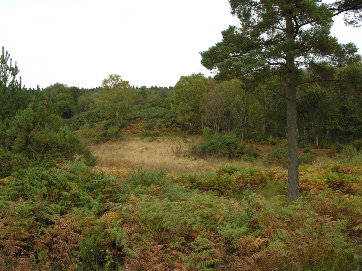
Bacton is a Forestry Commission and North Norfolk DC managed wood. It has good contour detail and has seen a full range of courses at District standard, but with several parts clear-felled or thinned, the forest is getting overun with bramble. However, with careful planning a small scale event could be accommodated.
<Back to Top> |
 |
| Bayfield |
This privately owned area has been mapped by NOR, but is not currently used for orienteering.
Back to Top
|
|
|
Beeston Regis |
Owned by the National Trust, Beeston Regis is situated towards the eastern end of the Cromer Ridge. The area comprises woodland and open spaces with interesting contour detail to the north. Deep re-entrants make the area physically demanding. The southern part (privately leased) is mainly woodland with shallower contours and a path network
|
 |
| Blickling |
Northern and southern areas of coniferous and deciduous forest, separated by fields, are connected on the western side by a narrow band of woodland. The fields can be crossed in several places, thus improving the usefulness of the whole area. Although rather brambly, Blickling is a good venue for smaller score and informal events, yet can host a District event. The area is part of a National Trust estate which surrounds the historical Blickling Hall.
|
 |
|
Bylaugh Wood
& Bawdeswell Heath
|
The heath is a small area with contour detail at the west end falling away to a stream and road to the south and a marsh to the east. South of the road, Bylaugh Wood is privately owned and FC managed. There is a larger area of mixed woodland to the west and east, separated by a band of thicker vegetation.
|
 |
|
Cawston & Marsham Heaths |
Managed by Norfolk Wildlife, small areas of woodland are separated by open and rough open spaces, some of which are gorse-covered. Characterised by many small pits, depressions and knolls, in recent years the area has been used for score and informal events and, in 2007, a District event with courses from White to Brown. NOR are in negotiation with new owners of adjoining woodland that has been used previously to add to the current map.
|
 |
|
Cockley Cley |
Grid ref. TF/781061
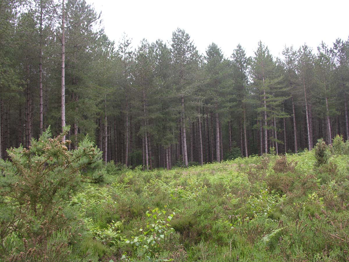
A large area of mainly coniferous woodland at various stages of growth, with considerable felling in recent years, Cockley Cley is notable for its large number of holly bushes and small clearings which make excellent control sites. Much of the area is privately owned, but all is managed by the Forestry Commission. Back to Top |
 |
| Easton Estates |
This privately owned area has been mapped by NOR, but is not currently used for orienteering.
Back to Top
|
|
|
Felbrigg |
This is a popular National Trust area, with the facilities of Felbrigg Hall available to orienteers. Lying to the south of Beeston Regis, and separated from it by the A148, Felbrigg presents challenges from a series of pronounced spurs and re-entrants in its northwest part, fast running through mixed woodland to the east, and woodland and open areas to the south.
|
 |
| Gilham's Plantation |
Grid ref. TG/155175
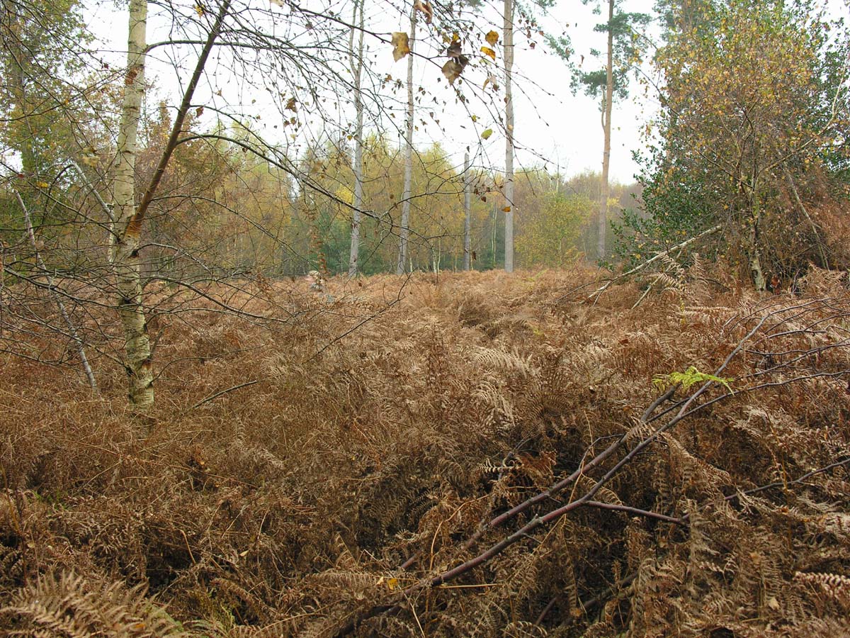
Privately owned and split into 4 blocks by minor roads, Gilham’s Heath is mainly coniferous woodland, bracken-covered in summer. There are interesting contour features in both the eastern and western parts of the map, and, during the winter when the bracken has cleared, much of the area is very runnable. It is mainly used for score and novelty events.
|
 |
|
Hockham |
Despite being mainly coniferous woodland, Hockham is an excellent orienteering area because of its large number of features, most notable of which are the pingos in its eastern part. (Pingos are marshy or water-filled depressions formed as a result of earth movement during the last ice age.) Elsewhere, much of the forest is runnable and gently undulating with a fair selection of features.
|
|
|
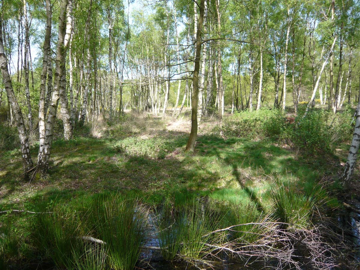
Holt Country Park& Holt Lowes |
The area comprises well-contoured woodland with other earth features to the south, contoured heathland, partly gorse-covered to the east, and woodland with a comprehensive path network to the north. 2 areas of marshland run towards the southeast where they join others alongside the river Glaven.
|
 |
| Horsford Heath |
A Forestry Commission plantation featuring 2 tumuli and crossed in both directions by a series of open rides, Horsford Heath appears a simple area for orienteering but requires considerable concentration nonetheless! Features include many shallow depressions, small knolls and shallow ditches. Bracken-covered in summer, the area comes into its own in the winter.
|
 |
| Houghen Plantation & Drayton Drewray |
On the opposite side of the Norwich/Holt road from Horsford Heath, Houghen Plantation offers very different orienteering from the blocks of forest on the Heath. Under several ownerships (private and common land) it comprises a mixture of deciduous and coniferous woodland with a good range of features including earthwalls, pits, depressions and ditches. A marshy area bisects Houghen Plantation, and another separates it from Drayton Drewray. Much of the area is partly bracken-covered in summer, but is mainly runnable in winter.
|
 |
|
Kelling Heath |
Part of the Cromer Ridge, the area is bisected by the North Norfolk Railway, and sometimes only the southern part is used for events. Part of this is a Holiday Park around central facilities. The west (Kelling Heath) is open or rough open land, variably gorse-covered, whilst the north is steeply contoured with spurs and depressions. Woodland to the east and south of the caravan park (Bodham Wood) is mainly runnable. North of the railway line is more well-contoured heathland (Salthouse Heath) which is partly gorse-covered, with views over the North Sea.
|
 |
|
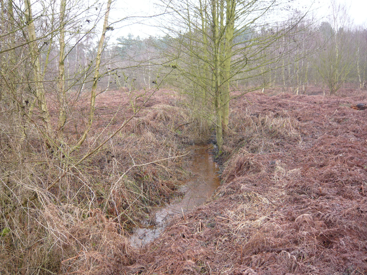
Ken Hill |
Mainly a private estate but with some common land on the southern side, Ken Hill has changed in recent years with the clearance of large areas of rhododendron. Ken Hill comprises a central area of woodland and rough open land with steep contours to the north, west and south of it, a low-lying area further to the north (illustrated in the picture) crossed by a number of deep ditches, and an area with many land form features to the south. There are many vegetation features including the remaining patches of rhododendron.
|
 |
| Litcham Common |
Too small for a District event, Litcham Common is nonetheless suitable for informal or score events with map exchange. Patches of woodland are interspersed with open and rough open land, and features include various landforms, ponds and ditches.
|
 |
|
Lynford |
The southern part of Lynford comprises mixed ages of coniferous forest and open land with occasional large depressions, typical of much of the Thetford area. Towards the north, more woodland is separated by lakes, a stream and marshy areas. To the east of Lynford Hall is a runnable arboretum, to the west a long vista, flanked by 2 rows of giant redwoods, which has been used to good effect for the finish of a Regional event and a Compass Sport match. At the extreme north are old gravel workings and open land.
|
 |
| Mousehold Heath |
Situated to the north of the city centre, Mousehold Heath is mainly on a hillside overlooking Norwich. With complex contours and land form features, the area has puzzled many good orienteers! A network of paths crosses the mainly wooded landscape; there are open and rough open clearings, patches of denser vegetation and undergrowth.
|
|
| Pond Hills |
|
|
|
Pretty Corner |
Grid ref. TG/152413
Situated towards the eastern end of the Cromer Ridge, Pretty Corner makes up for its relatively small size with its complex contours. Mainly wooded, but recently partly felled in the south east corner, Pretty Corner proves that not all Norfolk is flat. Several earth walls are useful handrails, as are some distinct vegetation boundaries. Paths tend to follow the re-entrants, but, especially during the winter, much direct running between controls is possible if not always wise.
|
 |
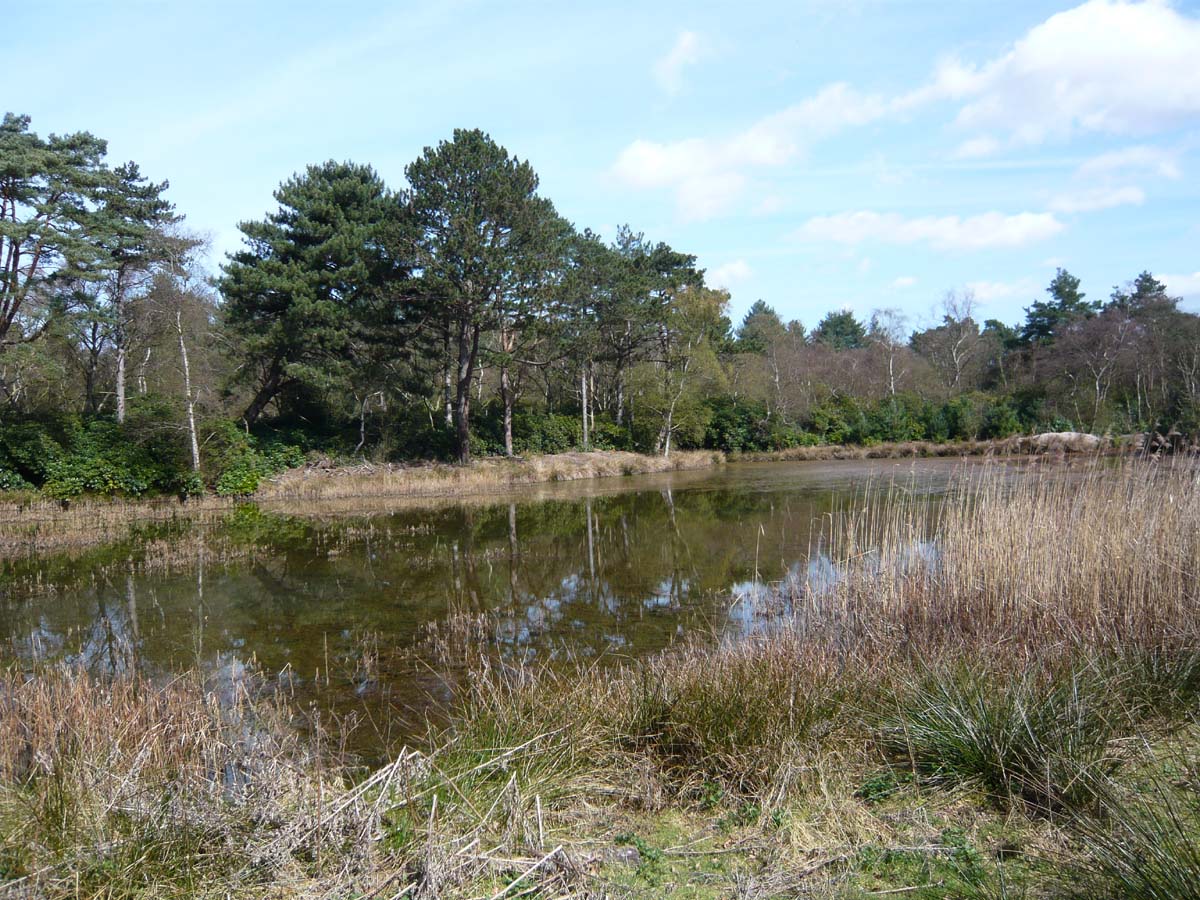
| Roydon Common & Grimston Warren |
Belonging to Norfolk Wildlife, the common is rough open heathland with intricate contour detail resulting from past quarry workings. This adjoins an environmentally valuable marshland habitat which is permanently out-of-bounds. All but small areas of the warren has recently been felled to extend the heathland and marsh habitats, revealing more details of the old quarrying. The area has been re-mapped for 2010. No orienteer should miss the chance to compete at this site, parts of which are amongst the most technical in the Region.
|
 |
|
Sandringham Country Park |
|
|
|
Sheringham Park |
Sheringham Park, owned by the National Trust, lies to the east of Kelling Heath. Both areas, together with other surrounding land were used for the British Championships in 1992, and both have featured in other National and Regional events. Sheringham Park and Weybourne were used to stage both the 1997 and 2007 British Night Championships. Sheringham Park is a highly contoured area with many land form and vegetation features. Although mainly woodland or recently felled rough open, there is access to fields to the north which can introduce variety into the courses. Voted NOR's best area in 2008.
|
 |
|
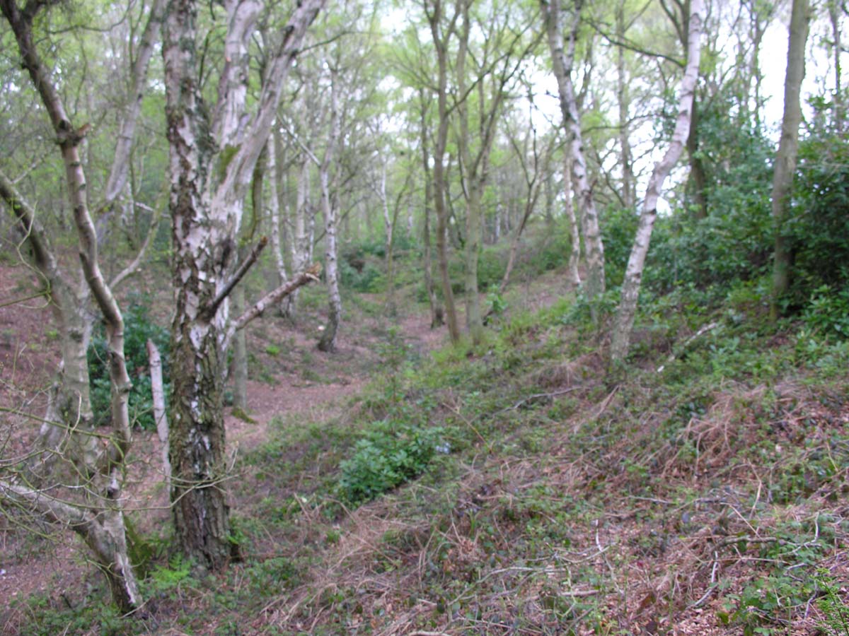
Shouldham Warren |
Northern and southern parts of Shouldham Warren are separated by a deep ditch, easily crossable only in 3 places. In the northern area, the land slopes upwards from all directions towards a high central plateau. Much of the northern part is covered by coniferous woodland, though recent felling has cleared some of this to the east. Many of Shouldham’s features are associated with vegetation, there being many rhododendrons. In the southern part, the eastern sector is fast, runnable woodland whilst much of the west is overgrown with several deep ditches and marshland limiting its use for orienteering. To the far west is Mow Fen, part of which is runnable in winter, the remainder being badly overgrown.
|
more photos of Shouldham Warren at the CSC match |
| Swaffham Heath |
Separated by a small road from Cockley Cley Heath, Swaffham Heath is another typical Forestry Commission planting, but its eastern side is privately owned. From the south the land slopes upwards and then down again to a central valley, part of which is farmed. North of this the land again rises towards a major re-entrant to the northeast. The coniferous woodland is at all stages of growth, but much is becoming very runnable leading to fast times at events. Features include many individually-mapped holly bushes.
|
 |
|
The Sincks |
The Sincks lies to the west of Shouldham Warren and has usually been orienteered in conjunction with it, though it is sufficiently large for use on its own for a small event. Crossed by a number of watercourses, some deep, The Sincks comprises mainly coniferous forest and rough open land. Various landforms and vegetation changes are its main features.
|
 |
| UEA |
Open parkland to the north, the University campus and open land to the south are bordered to west and south by a mixture of wood, marsh and a broad, all surrounded by a river which is crossable only in several places. West of the river is more open land, south of it is woodland and marsh. Overall, the area offers fast orienteering on a far from flat site.
|
 |
|
West Bilney |
Grid ref. TF/699133
Recently re-mapped after a gap from orienteering of over 20 years, West Bilney is best suited to small events. At the southern end, the land slopes upwards from all directions to a central, flat plateau, to the north it is less undulating. Vegetation comprises coniferous woodland at all stages of growth together with recently felled rough open, much of it being runnable during the winter. Features include numerous holly bushes and occasional depressions, ditches and gullies. Back to Top |
 |
| Westwick |
This privately owned area has been mapped by NOR, but is not currently used for orienteering.
|